What we build
Interactive maps
Click a room, land inside it.
Maps drafted in Lahore from CAD, PDF or on-site capture of Pakistani properties.
Interactive maps sit on top of a Panora tour: a plan, aerial or illustrated layout where each labelled zone jumps to the matching 360° node. Useful for campuses, hospitals, malls and mixed-use schemes where visitors get lost in a flat photo gallery.
We turn plans, aerials or stylised layouts into clickable maps where each zone opens the matching 360° view — wayfinding without a site visit.
Examples
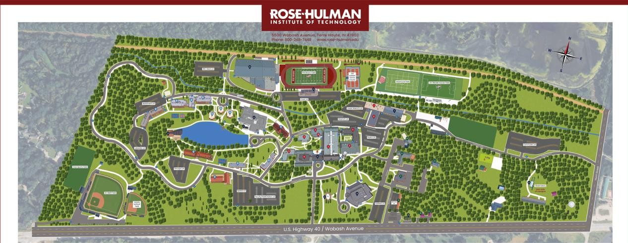 Rose-Hulman mapA labelled campus plan — click a zone, land in the matching 360° room.
How it works
- Step 01
Base plan
You provide CAD, PDF, or we draft from capture.
- Step 02
Link panoramas
Each area connects to the right room or exterior node.
- Step 03
Publish
Embed on your site or inside the main tour shell.
What you get
- Orientation before arrival
- Fewer “where is this?” calls
- Works on mobile for on-the-go buyers
Ideal for
Large campuses · Mixed-use schemes · Hospitals & venues · Retail floors
Questions
- Do we need a CAD file for an interactive map?
- CAD or PDF is ideal. If you only have an aerial or a sketch, we can draft a simplified plan from the 360° capture.
- Is the map separate from the tour?
- It can live as a landing overlay or as a menu inside the tour. Either way, each click opens the matching panorama.